Mapping
Faded ink: Map tells piece of the Beothuk story in Newfoundland
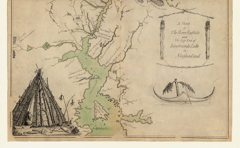
This map, “taken on the spot in the year 1768,” tells but a tiny piece of the story of Newfoundland’s bygone Beothuk
- 590 words
- 3 minutes
Mapping
This map, “taken on the spot in the year 1768,” tells but a tiny piece of the story of Newfoundland’s bygone Beothuk
Mapping
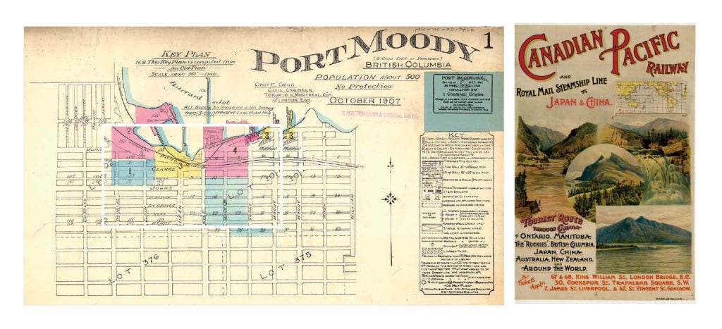
How Port Moody, B.C., missed out on becoming one of the world’s great harbours
Mapping
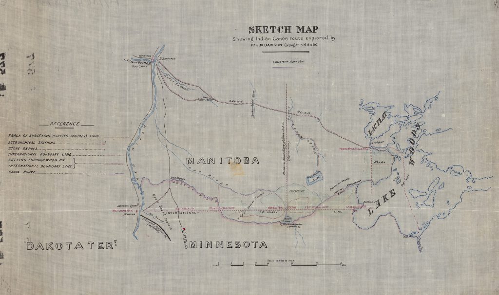
How George Dawson’s seminal work for the British North American Boundary Commission did far more than simply mark the 49th parallel
Mapping
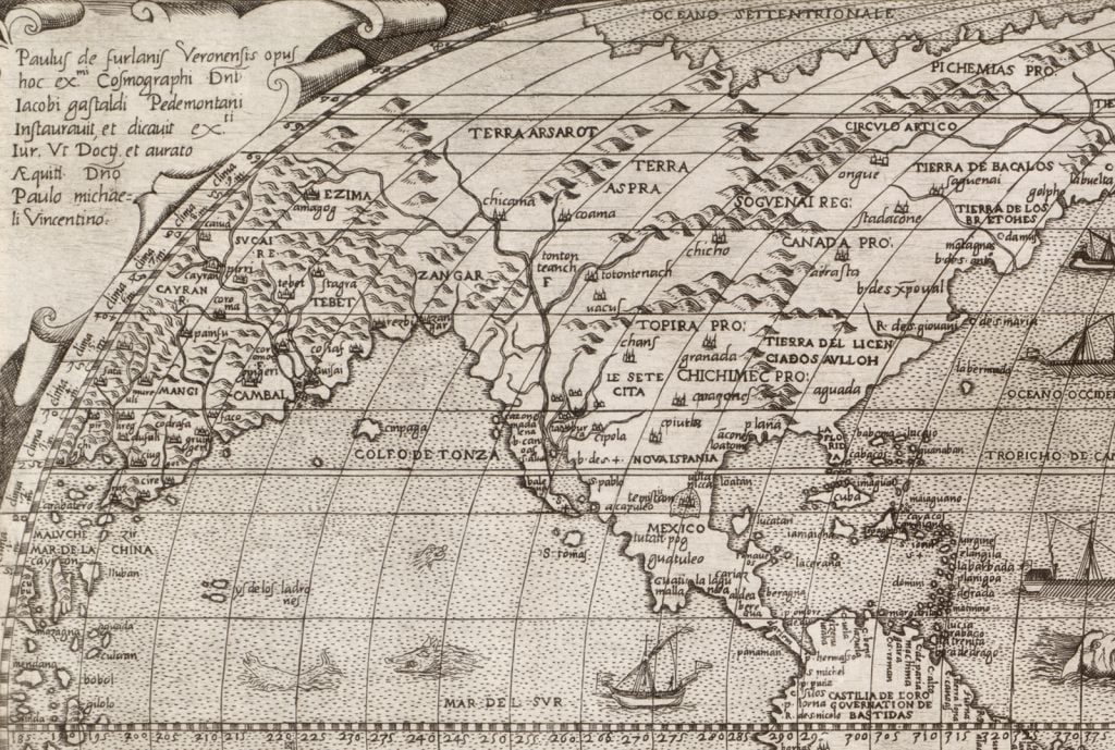
In 1560, Italian map engraver Paolo Forlani became the first to include “Canada” on a printed map